
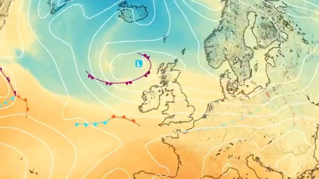

A shift in weather patterns is expected to bring warmer temperatures to Britain following the recent cold spell. The country experienced low single-digit temperatures and even dropped to 0C in some northern areas due to a persistent cold Arctic air mass. However, forecasts from the Met Office indicate that daytime highs will climb back to the low-to-mid teens in many regions, reaching 15C on Tuesday and possibly hitting 16C in southern England by Friday.
Met Office meteorologist Greg Dewhurst mentioned that a weather system approaching from the northwest will bring cloud and rain across the country in the next 24 hours. Although it will remain blustery early next week, there are indications of milder Atlantic weather moving in, leading to a gradual rise in temperatures throughout the week.
Exacta Weather’s James Madden predicts the possibility of further wintry showers, especially in Scotland, with the cold snap potentially extending until Halloween. However, the wet and windy conditions of the past few days are expected to ease off, with rain becoming lighter and less widespread. Monday may start with sunny spells and isolated showers, but heavy rain is anticipated in Scotland, Wales, and Northern Ireland by evening.
The weather outlook suggests a mixture of sunny spells, showers, and occasional rain, particularly in the northwest, with drier and brighter conditions prevailing in the southeast. Temperatures are forecasted to return to near-average levels across most areas, ensuring a changeable but relatively settled weather pattern in the coming days.